
The view from just outside of Grangeville, looking down towards the river.

Views of the Clearwater River.


The sign on Hwy. 12, at the junction with Hwy. 13. You just know this is going to be good.


Hwy. 12 follows the middle fork of the Clearwater River and also the Lochsa River.
These pictures are from along the Lochsa River.


This is where your Idaho sand came from dear...


We rode along side the rivers for almost all of the 99 miles of Hwy. 12. Pictures just don't come close to showing just how beautiful it really is.


The winding road comes to an end at Lolo Pass at the Idaho-Montana boarder.

A much more realistic speed limit in Montana.

Once into Montana, we had lunch in Lolo and then stopped for gas in Missoula. We took Hwy. 200 out to the east for almost 90 miles.
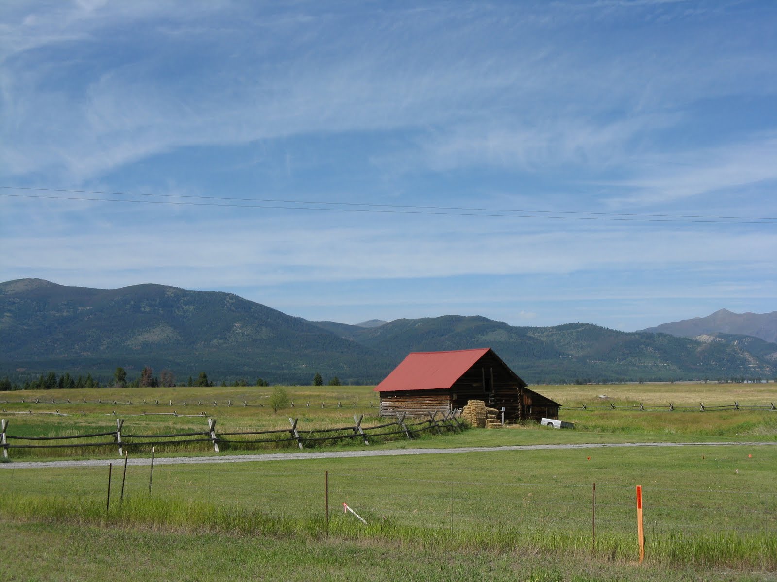
John stopped and snapped this picture of the Bob Marshall Wilderness Country just outside of Missoula.
We took Hwy. 279 into Helena and ended the day at the Days Inn.
I'm close to 4500 miles for the trip so far.
Tomorrow, we're going to mine sapphires. I hope to be home by Friday night.

I am looking for a few photos of the Clearwater River to use for a Nez Perce Tribe website. Would you be willing to allow me to use several of your photos? Let me know, you can reach me at stacys@nezperce.org. Thanks so much!
ReplyDelete