Thursday, September 16, 2010

Early Fall Ride.

Being as I retired last week, I now find I have time to ride during the week when traffic is light. That is so nice. Today, I did a little route scouting for a small group ride later this fall. I did a nice 180 mile loop through Pierce, Pepin and Buffalo Counties. I really like this area of Wisconsin. I'm lucky to have nice riding right outside my door. I left home about 1030, and brought my camera with to take a few fall pictures. I got home about 4 hours later.

The sumac is turning red already.


The soy beans are finishing off and turning gold.


The corn is drying up too.


Even some of the maple trees are starting to turn color.


I drove out Hwy. 10 to Plum City. From there it was almost all county roads. All but 3 were "alphabet roads". From Plum City, I made my way down to Pepin. I stopped at BP for a hot chocolate and a cookie.


Then back to riding. Here's my route sheet.


Some of the trees are starting to turn.


When to corn is gone, this will be a great view into the valley.


The obligatory bike shots.


A few more pictures.


I was headed back to Prescott, and going through Ellsworth, it had warmed up a little bit.

Wednesday, August 25, 2010

New Map

I figure it's time to post a new map of the USA. The red states are places I've been to, or through, by motorcycle.


Now it's time for oil and filter change and a new air filter.

Friday, August 20, 2010

Day 21. The End.

Today, we got up at the crack of dawn, 0445. Richard and Linda provided breakfast for us, and we were on our way by 0539.
We drove to the Wasta Rest Area and took a short break. We wanted the sun to get a little higher in the sky so we could see without squinting. We gassed in Murdo and got gas and lunch in Mitchell. We stopped for a pop in Worthington, and a last gas stop in Windom. I got home at 1720.


Total miles for the trip = 5821
Days riding in the rain = .5
Days with perfect weather = 20.5
Days camping = 7
Nights in a hotel = 12
Nights with friends = 1
Performance Awards, AKA tickets = 1
Accidents = 0
States travelled = 11
Best breakfast = Silver State Restaurant, Ely, NV,
Chorizo w/american fries, peppers and onions, and eggs.
Best day of riding = Hwy. 12, Idaho.

Thursday, August 19, 2010

Day 20. Belle Fourche

We actually got an early start today!


We were packed up and at Dori's Cafe by 0700. We had breakfast and were on the road by 0730.
I didn't take many pictures today. We spent the day driving and we were at Belle Fourche by 1515. We're spending the night with John's friends Richard and Linda.

Wednesday, August 18, 2010

Day 19. Sapphires

Today, we went looking for sapphires. We drove out to the Spokane Bar Sapphire Mine. We got a 50 lb bag of gravel and went to work. Pour a little gravel into a screen, rinse, shake, drain, place a piece of foam on top , flip and pick. Repeat.


It's a lot of work, it would have been better if I had my glasses with me. I found a few that were of good enough quality that they could be processed into nice gems. John found about 8.


After spending 4 hours picking rocks, we hit the road. We had lunch in Townsend, and continued to White Sulphur Springs. The mountains are being replaced by the plains.


Tonight's lodging is at the White Sulphur  Hot Springs Spa + Motel.


Tomorrow we'll try for Belle Fourche, and be home by Friday.
4662 miles so far.

Tuesday, August 17, 2010

Day 18. Highway 12, Lolo Pass!!!

We got an early start today, HAHA. We were gassed up and on the road by 0845. Some day we'll get our act together and be moving by 0600, but that's the nice thing about riding with no plans or schedule! We left Grangeville on Hwy. 13. A beautiful stretch of road that takes you down to the Clearwater river. It follows the river and meets up with Hwy. 12.

The view from just outside of Grangeville, looking down towards the river.


Views of the Clearwater River.


The sign on Hwy. 12, at the junction with Hwy. 13. You just know this is going to be good.


Hwy. 12 follows the middle fork of the Clearwater River and also the Lochsa River.
These pictures are from along the Lochsa River.


This is where your Idaho sand came from dear...


We rode along side the rivers for almost all of the 99 miles of Hwy. 12. Pictures just don't come close to showing just how beautiful it really is.


The winding road comes to an end at Lolo Pass at the Idaho-Montana boarder.


A much more realistic speed limit in Montana.


Once into Montana, we had lunch in Lolo and then stopped for gas in Missoula. We took Hwy. 200 out to the east for almost 90 miles.
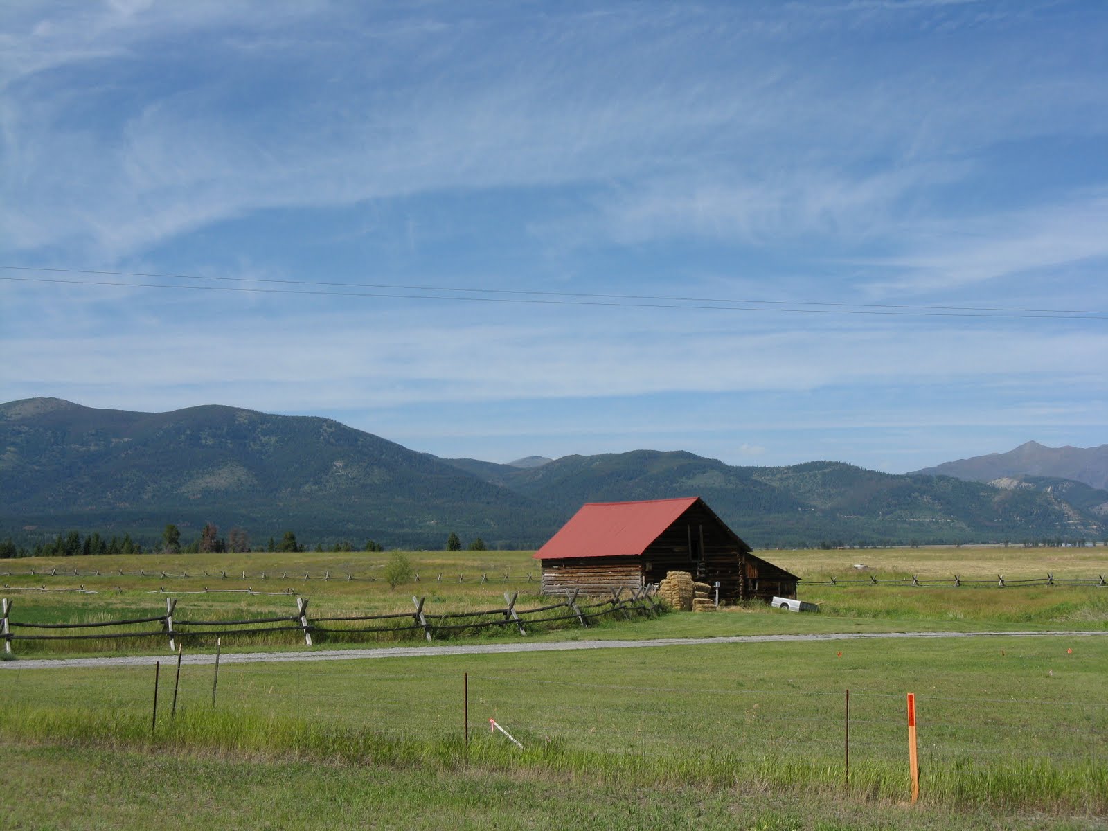
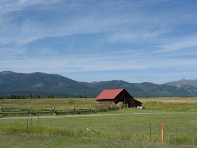
John stopped and snapped this picture of the Bob Marshall Wilderness Country just outside of Missoula.


We took Hwy. 279 into Helena and ended the day at the Days Inn.
I'm close to 4500 miles for the trip so far.
Tomorrow, we're going to mine sapphires. I hope to be home by Friday night.

Monday, August 16, 2010

Day 17. Out of Oregon

I'm glad to be out of Oregon. It's an interesting state, but it has a few odd things going for it. There are no self-service gas stations. No matter where you go, someone comes out to start the pump, and hand you the nozzle. The other odd thing is the 55 mph speed limit. Even in wide open areas, with no human population, it's still 55 mph.


We left Hines, Oregon on Hwy. 20 and connected with 201.


We entered Idaho and took 95 all the way to Grangeville. The last 30 miles were miserable. We were stuck in 100 degree heat, stopped in road construction, with no shade. They had only one lane open. They were putting down oil and gravel and the gravel was thick and hard to drive on. The traffic was moving only 10 to 20 mph. When we finally did get moving, the temp never dropped below 99. It was a tough day to ride.

I didn't take very many pictures, because after a while one state begins to look like the other. Sagebrush looks the same everywhere.

We did find a nice section of Hwy 95 that runs along the Little Salmon River.


Here's one for you dear....


We stayed at the Grangeville Super 8. We walked across the street to the Palenque Mexcican Restaurant for dinner.

Sunday, August 15, 2010

Day 16. NV to CA to OR

This morning, we started out with a breakfast at Denny's. Then it was time to hit road. We went up Hwy. 395 and crossed into California.


We stopped at the Honey Lake Rest Area. Nice place. California must have spent a ton of money on it. Lots on cast concrete tables with the CalTran logo on them. The restrooms were staffed even on a Sunday. The place was spotless.


The rest stop over looks Honey Lake, which is a dry lake.


A little further up Hwy. 395, we stopped in Susanville for a couple of pictures.


In Ravendale we found another shoe tree...


The view to the north, just before Likely, CA.


The Modoc County Courthouse in Alturas, CA.


We crossed into Oregon.


We had lunch at the Burger Queen in Lakeview, OR. Then we continued up Hwy. 395, past the Albert Rim.


At Albert Lake, I took off my glasses to take a picture of John, using his camera. I took the picture, got back on my bike and we drove off. I didn't notice that I didn't have my glasses on for over 2 hours...Duh! There's no way I was going to drive the 4+ hours round trip to try and find them.

Hwy. 395 in Oregon has a whole lot of nothing... except wind and heat.


We stopped for the night at the Best Western Inn, in Hines, Oregon. We both used the pool and hot tub.