Monday, August 20, 2012

A Bad Day in a Kayak...

Beats any day of working around the house. The other day, Nancy and I were talking about how we hadn't been out in the kayaks in a long time.
This afternoon, the weather was a mild 72°f (22°c) with a partly cloudy sky. A perfect day to paddle some of the Namekagon River. We loaded the truck with the kayaks and gear, packed a small snack and took off. We dropped Nancy's car off at the Cable Wayside Landing, then returned to the Cap Creek Landing, just a mile or so from home, and put in.
It's 5.9 miles of river, and most of it was pretty good. The water level is very low, we haven't had any decent amount of rain in a long time. In parts of the river, the depth can vary between a few inches and a few feet. The rocks that are normally under water and make for a fun ride down gentle rapids, were exposed and ready to bounce us around.

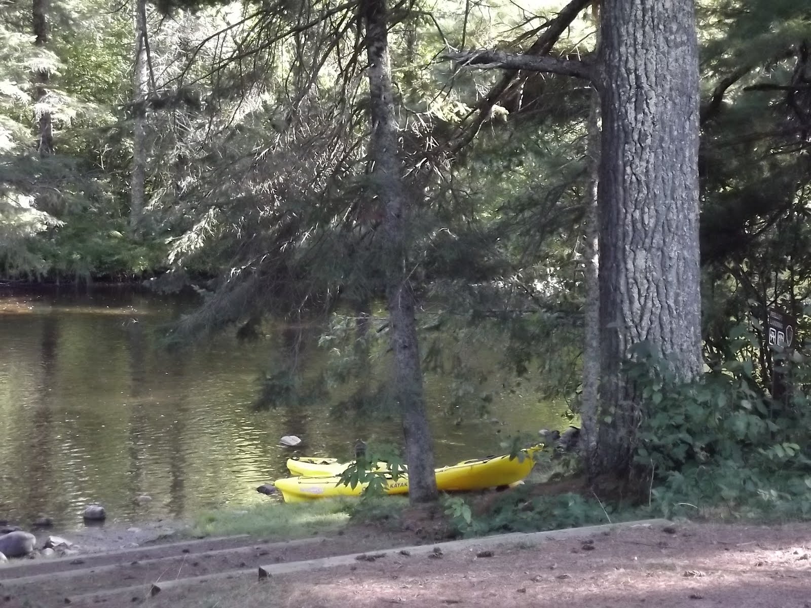
We took a short snack stop at the Phillipi Landing.

Then it was back into the river. The last 2.4 miles were pretty bad. There were more than 25 times where I had to break my paddle in half and use both short halves like cross country ski poles to push my self through shallow spots and free myself from the rocks. Talk about an upper body workout!
We were on the river for just about 4 hours. It was pretty slow going with such low water levels.

A few pictures from today.

Large patches of Forget-me-nots.

Low bridge..


Interesting green life on the end of an old piling...

I know there's a name for this, but it escapes me....

Even with low water levels, a day on the river is better than a day at home!

Wednesday, August 15, 2012

Days 15 and 16... I'm Home Now

Without going back to check the comments, I don't remember who said it, but they were right...."when the cow smells the barn..."

That's what yesterday and today were like. I took only 1 picture all day on Tuesday. I thought it was an appropriate name for a little town... I took it as my Last Chance to turn around and keep traveling before going home.

Tuesday ended with us trying to get another camper cabin at the KOA in Kennebec, SD, but again, they were all booked. I'll have to remember to call ahead and reserve them. We found a great room just a block or so away from the KOA. The price was right too. $5 bucks more then a cabin!

This morning would be the last run to home. I had 576 miles to go, John, about 160 less. It helped that there was no breakfast at the motel. We were on the road by 8:00. Our earliest start yet! We made a few gas and food stops along the way. I broke off from John at the I-35E/I-494 interchange. I had about 3 and a half more hours ahead of me.
It felt great to be so close to home. I noticed that Wisconsin is a lot greener that most of the places we traveled.
The corn is looking pretty good for a field with no irrigation!

Soy beans too!

Is there any wonder why Wisconsin cheese, eggs, milk, beef and chicken taste better than the products from out west.... No Sage brush in our "pasture land".

I knew I was close to home when I started to see Corn and Firewood for sale on the "honor system".

I guess the high price we pay for gasoline is a small trade off for the high quality of life up here.

By the time I got home, I had logged 5058 miles (8140k) on this trip. The '09 Ninja now has 38,545 miles (62,032k) on it. It needs a bath, an oil change now, and a valve clearance service sometime this fall.

It's good to be home!!!

Tuesday, August 14, 2012

Day 14... The Last of the Mountains

We pulled out of Cortez around 9:00 after checking the weather on the computer. It looked like we'd be following behind a rain storm, and riding between more rain on each side. The plan worked good. We saw a number of west bound riders in rain gear, and there were some wet roads, but no rain for us.

Between Pagosa Springs and Del Norte, US-160 crosses the continental divide at Wolf Creek Pass. According to my GPS, the elevation was 10,863'(3311m). Just prior to that, I had an opportunity to met one of Colorado State Patrol's finest. I had fallen behind in a double set of switch backs and was pushing it a bit to catch up to John when Trooper Fenwick turned around to introduce himself to me. We had a nice talk about speed and safety. I left the meeting without having to contribute any money to the state of Colorado. That was a good thing!

A few pictures from today.
How ironic is this.... a shot of the XM radio near the Wolf Creek Pass..

At the top.

Near where I meet Trooper Fenwick.

We put our rain gear on near the La Veta Pass. We should have just waited there for 10 minutes. As soon as we got the gear on, it quit raining. It still looked like it might rain, but it never did.

Once we were near Walsenburg, we were out of the mountains. We decided to head for Limon again. This puts me about 1055 miles, or 2 days, from home.

The sun was getting low on our way to Limon.

In Limon, the KOA camper cabins were all booked and most of the rooms were full, but we found a room.

Sunday, August 12, 2012

Some Pictures from John's Camera...

John was looking at my blog and told me he had some pics I might want to post...
Here are a few from the copper mine that I wouldn't get close enough to the edge to take a picture. It wont be long and the whole mountain will be gone!

From Thursday, at an overlook south of the Santa Fe trail...

Friday's sunset in Grants, NM

The rain clouds we successfully avoided today!

Saturday, my day to be in the lead...

Day 13.. Turning Towards Home, and Some Sad News

Thank you to Paul and Mona for feeding us and letting us spend the night!
We had a short ride today, only 291 miles. The weather was warm, but not higher than 100 (37.8C). We made it as far as Cortez, CO.
Paul's grass free, stone yard...

A few pictures from along the way...


After checking in and settling down, I called home. Nancy told me she had some bad news. One of our 6 rescue cats, Vinnie, died in her arms this morning. Nancy was napping when Vinnie jumped up on the bed and started to play with her. A few seconds later, he stiffened up, let out a little noise and passed away. Vinnie was her second favorite cat, next to our first one, Sticky. Vinnie was always the first cat to approach visitors at our home and was quite active. He hadn't been sick and hadn't shown any signs of illness or distress. The suddenness of this is quite surprising and Nancy is heartbroken.

Vinnie is the cat on the far right, the skinny black cat. Sticky, our first cat, is next to him on the left. A few more added from home.....


View Larger Map

Day 12... A Day of Extreme...

Heat, cool, food portions, and panic...

It's also the day we got to the turn around point in our trip, Pinetop, AZ.
Saturday started as a nice, but not real cool morning. We took advantage of the hotel's continental breakfast. It was a treat to have frosted flakes and ice cold milk after a week of eggs, meat and potatoes for breakfast.
We left Grants, NM and went south on NM-117, along side the El Malpais N.M.

Soon, we were riding NM-36 to Quemado, NM-32 to Apache Creek, and NM-12 to Reserve. In Reserve, we stopped at the first place we came to for lunch, Carmen's Authentic Mexican & American Food.

The special of the day was...

It was bigger than I expected... I started to eat it before I remembered to take a picture. It must be healthy, it has lettuce, beans and green chili.....

After lunch came the heat. 106 degrees (41.1 C) in Clifton, AZ. And if the heat wasn't enough, there was the FEAR/panic of the first 10 or so miles of US-191 from Morenci to the north. There is a HUGE copper mine at the edge of town. They have mined right up to both sides of the highway. When I could get the courage to look sideways, I couldn't see the bottom. Karen, It was 100 times worse than seeing just "the tops of the trees". I could only look at the road! John drove into a "scenic overlook" of the mine and drove right to the edge for a few pictures. I drove only far enough off the road to be out of the way of traffic! After about 10 miles or so, the road is like many other mountain roads, up, down, and lots of curves, no problem. At least there were fewer sections of long vertical drops next to the road.

I have NO pictures of any views near the mine or the first 10 miles or so.


Before coming off the mountain, we rode through Hannagan Meadow. The temps at 9200' (2800m) was a very nice 61 degrees (16.1C). We gassed up in Alpine, AZ and John called his cousin Paul. He gave us directions to Pinetop and told John to call him back when we got there, and he'd come and meet us at the Chevron station.
We spent the night with Paul and his wife, Mona, and their dog Maggie.
It was a 400 mile day, and the point where we turn for home!
View Larger Map